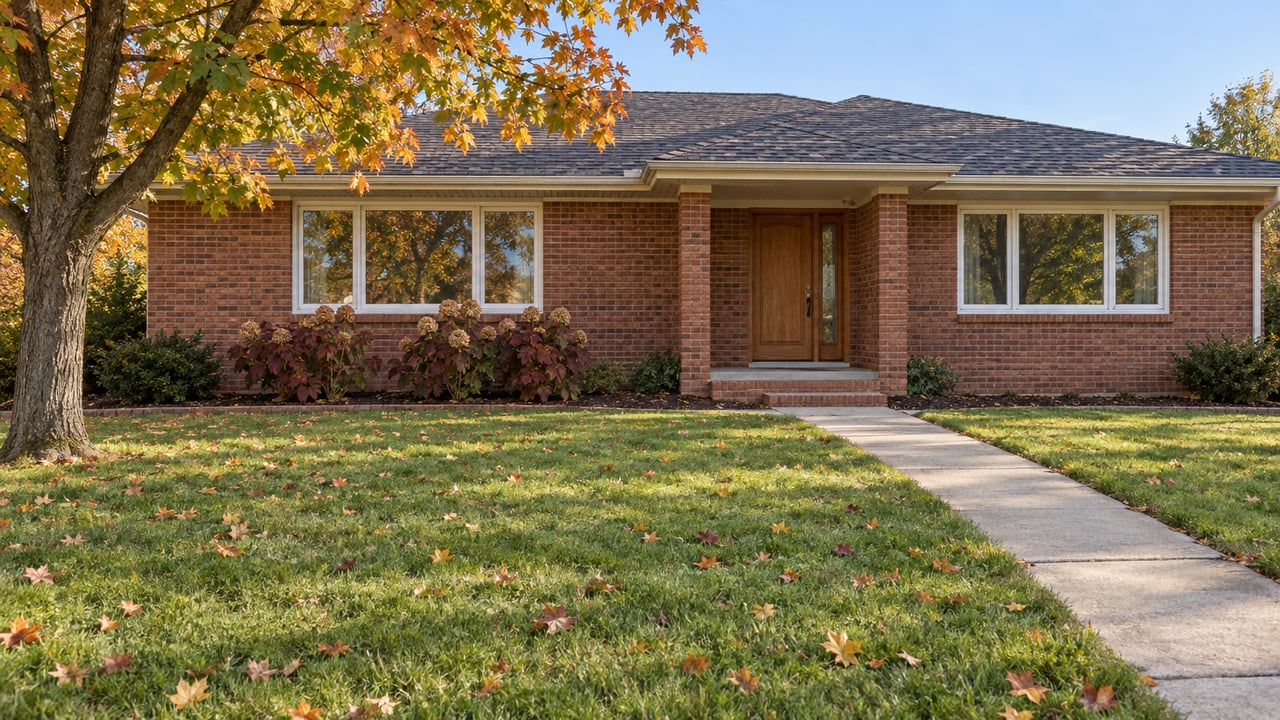
The Thompson Lane Trailhead Still Has Parking. Its River and Battlefield Links Have Moved
November 5, 2026
November 5, 2026
Where do you put a kayak in on the north side of Murfreesboro this fall? For years the answer was the Thompson Lane Trailhead at 2240 N. Thompson Lane. The City lists it with an asphalt trail, fishing, picnic areas, restrooms, a historic site, small-watercraft access, and room for 60 cars and trailers. It worked as a boat launch, a greenway entrance and a quiet way into Stones River National Battlefield, all from one parking lot.
That lot is still open. Most of what it led to is closed. The Tennessee Department of Transportation is widening North Thompson Lane, and its newsletter says the canoe ramp and a section of the Stones River Greenway would close after October 1 for early work on the West Fork Stones River bridge. The parking lot stays open. TDOT estimates the project will be finished in the second quarter of 2030. For about three and a half years, each of the trailhead's three uses now starts somewhere else.
The project covers about 4.3 miles of North Thompson Lane, from NW Broad Street to Memorial Boulevard. TDOT is widening it to four travel lanes with a center turn lane, adding curb and gutter, sidewalks on both sides and new traffic signals, and replacing the West Fork Stones River bridge. The City of Murfreesboro called the project "ten years in the making," and TDOT started planning it in 2015 because of traffic growth on the corridor.
The bridge is where the road, the river, the greenway and the battlefield all meet. That is why the trailhead feels the work first. TDOT's newsletter says vegetation clearing may begin after October 1, 2026 and must end by March 31, 2027, and crews start at the West Fork Stones River bridge before working from the NW Broad Street end toward Memorial Boulevard. The trailhead sits in the first area crews clear.
TDOT's project page says the Thompson Lane Trailhead Canoe Ramp will stay closed "throughout construction." Signs at nearby West Stones River ramps point boaters to other launches. The state lists three alternates:
| Alternate launch | Location | Distance and drive time per TDOT |
|---|---|---|
| Manson Pike Boat Ramp | Searcy Street, Murfreesboro | 2.8 miles, about 9 minutes south |
| West Fork Boat Ramp | 9012 Florence Road, Smyrna | 6 miles, about 11 minutes north |
| Nice Mill Recreation Area Boat Ramp | Sulphur Springs Road, Murfreesboro | 6.3 miles, about 12 minutes north |
Manson Pike is the closest, and it has the most of what the Thompson Lane ramp offered. The City lists the Manson Pike Trailhead on Searcy Street, at the corner of Medical Center Parkway, near Ransom's Mill Dam. It has small-watercraft access, an asphalt trail, restrooms and a water fountain. Parking is the big difference. Manson Pike holds 15 cars, and Thompson Lane holds 60 cars plus trailers. If you tow a boat on a trailer, the two northern ramps may be the easier stop even though the drive is longer. TDOT's listed addresses for those two are Florence Road in Smyrna and Sulphur Springs Road.
The greenway is the part people will feel most often. TDOT says replacing the bridge "will result in the closure of a section of the Stones River Greenway." The state has not published the exact ends of that closed section. If you walk from Thompson Lane, check the signs at the lot before you plan a loop.
For a north-side walk that starts somewhere else, the Broad Street Trailhead is closest. It sits at Broad Street and Thompson Lane beside 84 Lumber and has paved parking for eight cars, an asphalt trail, fishing, a water fountain and an overlook deck above the West Fork. The City lists Broad Street and Thompson Lane as 0.9 miles apart along the greenway. With only eight spaces, Broad Street works best for a short weekday walk. It won't easily take overflow on a busy Saturday.
For longer outings, the greenway's other access points spread south and west:
The Murfreesboro Pulse describes the greenway as a chain linking Cannonsburgh Village, Old Fort Park and Barfield Crescent Park, with connections toward Fortress Rosecrans. Over the next few years, the north end will be the part of that chain you drive to the middle of instead of starting from the end.
The quietest loss is the trail link to the battlefield. The National Park Service calls the Stones River Greenway a three-mile segment of the city's system that gives walkers and cyclists access to McFadden Farm and other battlefield sites. The farm is a unit of Stones River National Battlefield and the site of a major engagement in the Battle of Stones River. The Park Service notes the farm was damaged in the fighting on January 2, 1863.
On October 3, the park posted this alert:
The trail connecting the McFadden Farm Unit and the Stones River Greenway will be closed to the public while Tennessee Department of Transportation crews work to widen the North Thompson Lane bridge across the West Fork of the Stones River. Work is expected to be completed in 2030.
The same NPS alert says the farm is still open by car. To get there now:
Those winter hours started November 1. Combined with earlier sunsets, they make McFadden Farm more of a midday stop than an after-work walk until spring.
If you still start at the Thompson Lane lot, driving there has changed too. According to Murfreesboro.com, the work-zone speed limit between Memorial Boulevard and Broad Street dropped from 45 to 35 mph on Monday, October 26. TDOT allows lane closures from 8:30 a.m. to 2:30 p.m. on school days, and until 4 p.m. when school is out. Early morning and late afternoon are the hours least likely to have a lane closure, though they are also the hours when school traffic is heaviest.
Cyclists who rode Thompson Lane's bike lanes to the greenway lose them for now. TDOT says the bike lanes will be closed during construction, and its newsletter warned of bike lane and shoulder closures in the coming weeks. Weekly lane closure reports are posted on TDOT's news page, and the project page links to monthly newsletters that have come out since July 2026.
The finished project gives the trailhead more than it had before. TDOT's plans include a shared-use path from near the West Fork Stones River bridge to near Memorial Boulevard. They also add a Pedestrian Hybrid Beacon near the bridge, which TDOT says "will provide a safer crossing for Stones River Greenway users." Three new signals and four upgraded ones will be tied into the existing fiber-optic network so the corridor can later run as a coordinated signal system.
Near Erma Siegel Elementary, the pedestrian crossing moves to a new signalized intersection at Regency Park Drive once the project is done. Today the trailhead connects the river, the greenway and the battlefield, and it's hard to reach without a car. The 2030 version adds a protected crossing, sidewalks on both sides of Thompson Lane and a path heading north toward Memorial Boulevard, so walkers from the surrounding streets will have a way to reach it on foot.
TDOT says its construction schedule can shift with weather, materials and utility work, so treat Q2 2030 as an estimate. Until then, launch from Manson Pike or the northern ramps, walk from Broad Street, and reach McFadden Farm by Van Cleve Lane.
At A&M Homes, we follow projects like the North Thompson Lane widening because they change how north Murfreesboro gets around day to day, from the morning drive to Saturday on the river. If you have questions about how the work affects your part of the Siegel Road area, or you want to talk through what the finished corridor could mean for your street, Anne and Melinda are glad to help. Contact Us.
Stay up to date on the latest real estate trends.
Get assistance in determining current property value, crafting a competitive offer, writing and negotiating a contract, and much more. Contact us today

ANNE LOY & MELINDA MORRISSEY
1225 GARRISON DR # 202 MURFREESBORO, TN 37129